Ground satellite imagery#
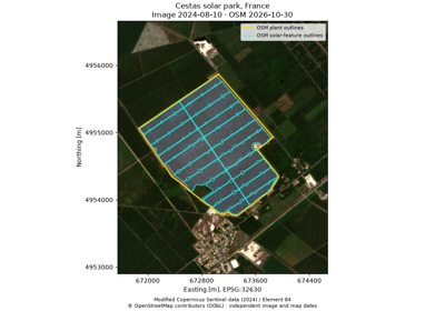
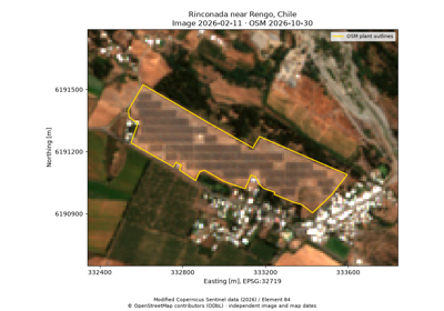
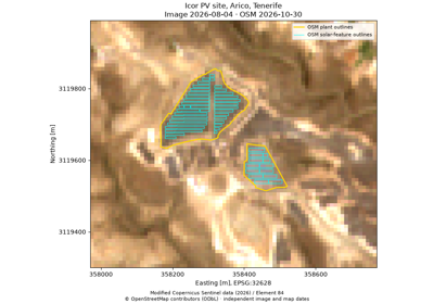
Retrieve ground imagery and mapped renewable-energy features through Python. The walkthroughs cover Cestas in France, Rinconada near Rengo in Chile, and Icor in Tenerife, using the same compact PV mapping utilities. They retain real Sentinel-2 pixels, native quality information, and raw OpenStreetMap inputs related to Dunnett et al. (2020). Each site uses verified local snapshots for offline reproduction.
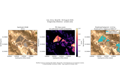
The image-detection example trains on Cestas and predicts Tenerife and Chile from multispectral pixels. It reports held-out weak-reference errors openly. The inventory example groups mapped features, samples historical GHSL classes, and tests a capacity model against independent records from a withheld country.
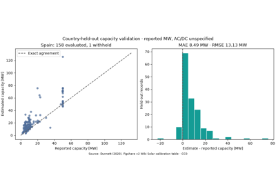
Group mapped PV farms and test an area-capacity model